Giza Plateau Mapping Project : Season 2009 Preliminary Report
244 p.
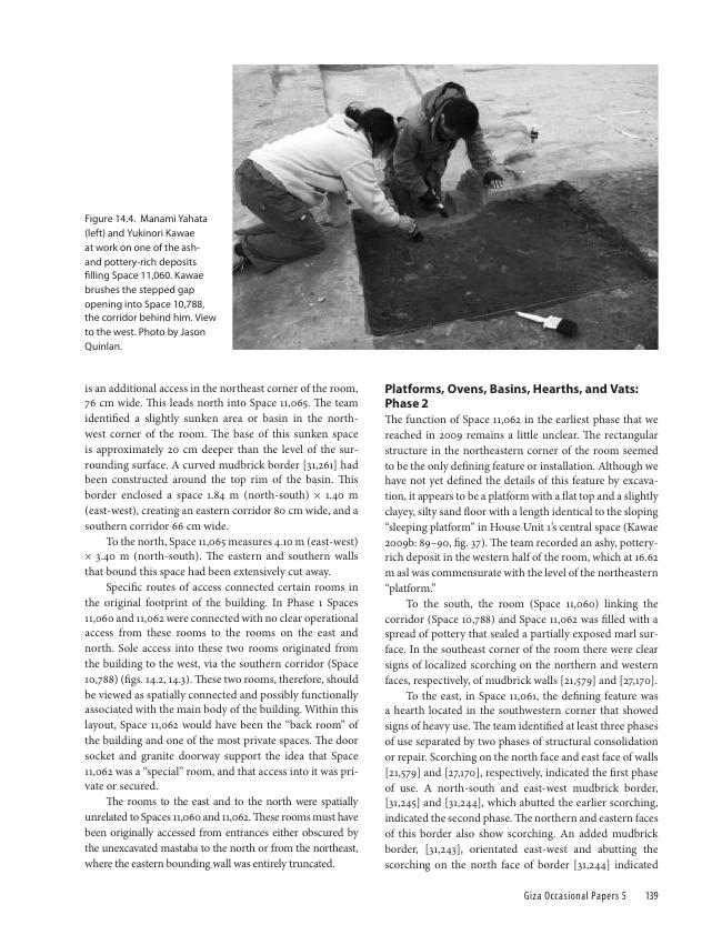
During 2009, the Giza Plateau Mapping Project carried out excavations at two sites as part of its ongoing research program: 1) the settlement connected to the Khentkawes Monument on the Giza Plateau and 2) the nearby town, Heit el-Ghurab (aka Lost City of the Pyramids). The 2009 work yielded some important discoveries such as evidence that the 4th Dynasty Khentkawes Town was in fact occupied into the 5th Dynasty with reoccupation later, probably in the 6th Dynasty. The major discovery was the remains of a previously unknown valley complex off the east end of the Khentkawes Town made up of corridors, ramps, and stairs descending into a depression that may prove to be a harbor. This collection of papers by archaeologists and specialists details the results of the excavations and additional work carried out in 2009. The book is well illustrated with abundant maps and photographs, along with large foldout maps and isometric drawings. [Publisher's text].
Special access authorizations may apply; please contact us for further information.
-
Information
ISBN: 9781733197045
DISCIPLINES


