Artikel PDF (0,51 Mb)
Nur mit Adobe Acrobat Reader kompatibel (lesen Sie mehr)
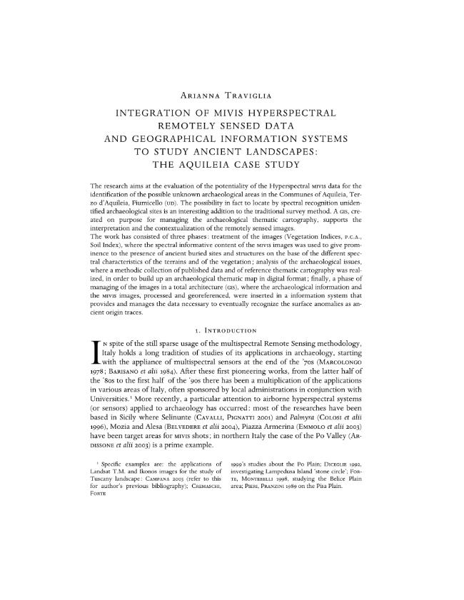
Integration of MIVIS Hyperspectral Remotely Sensed Data and Geographical Information Systems to Study Ancient Landscapes : The Aquileia Case Study
P. [1-32] [32]
-
Artikel aus derselben Ausgabe (einzeln erhältlich)
-
Informationen
DOI: 10.1400/20746
ISSN: 1825-1277
THEMENBEREICHE


